Click to deep-zoom
National Prohibition Park, Staten Island, 1898
A whole dry town, mapped from the air and sold by the lot.
What
A bird's-eye map by O. H. Bailey & Co. for the National Prohibition Park Company, Westerleigh, Staten Island, held by the Library of Congress.
Why
The Prohibition movement built a residential suburb, and this map sold its streets and numbered lots.
Notice
The vignettes of houses along the top, and the folds, tears and wear the Library's own record describes.
“A temperance utopia, drawn as real estate.”
Format
The full-resolution, color-managed file — restored honestly, yours to print and keep.
Sized to protect print quality — this scan supports sizes up to 40x60" cleanly.
Size
$29.00
Provenance
The Lost — mark extinguished- Artist
- O. H. Bailey & Co.
- Country
- United States
- Format
- Other
- Piece published
- National Prohibition Park, Westerleigh, borough of Richmond, Staten Island, 1898
- Source
- Library of Congress, Geography and Map Division
Scan: Library of Congress; no known restrictions. Hosted on Wikimedia Commons.
Rights: CLEAR. Public domain — U.S. 95-year rule (piece published 1930 or earlier). Gated by the piece’s own publication year, never a brand’s founding year. Cleared by registry on 2026-11-01. Published 1898, before the 1930 cutoff; maker O.H. Bailey & Co.; National Prohibition Park Co.; Commons reads Public domain with {{LOC-map}} {{LOC-meta}} {{PD-Art}} {{PD-US-expired-text}} {{PD-old-100-1923}} {{PD-old-100-expired}} {{PD-old-X-expired}} {{PD-old-text}} {{SDC-PD-old}}. Mark status dead is the registrar's reading of an old mark; no trademark search was run, so confirm before launch.
This brand was no longer in the market. Everything sold here is the art, not the drink.
From The Dry Years
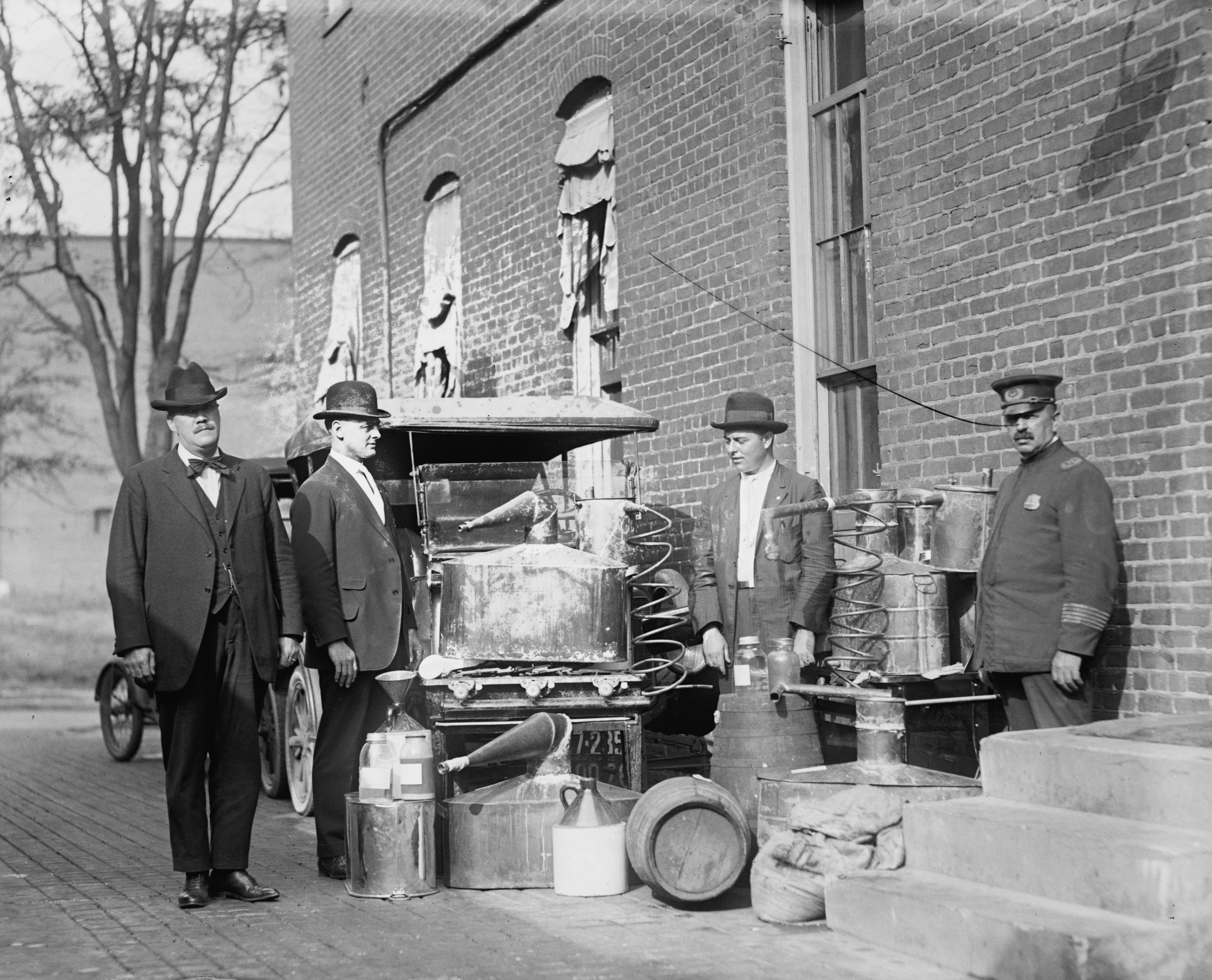 The Lost — mark extinguished
Confiscated Still, 1922
Confiscated still — National Photo Company press photograph
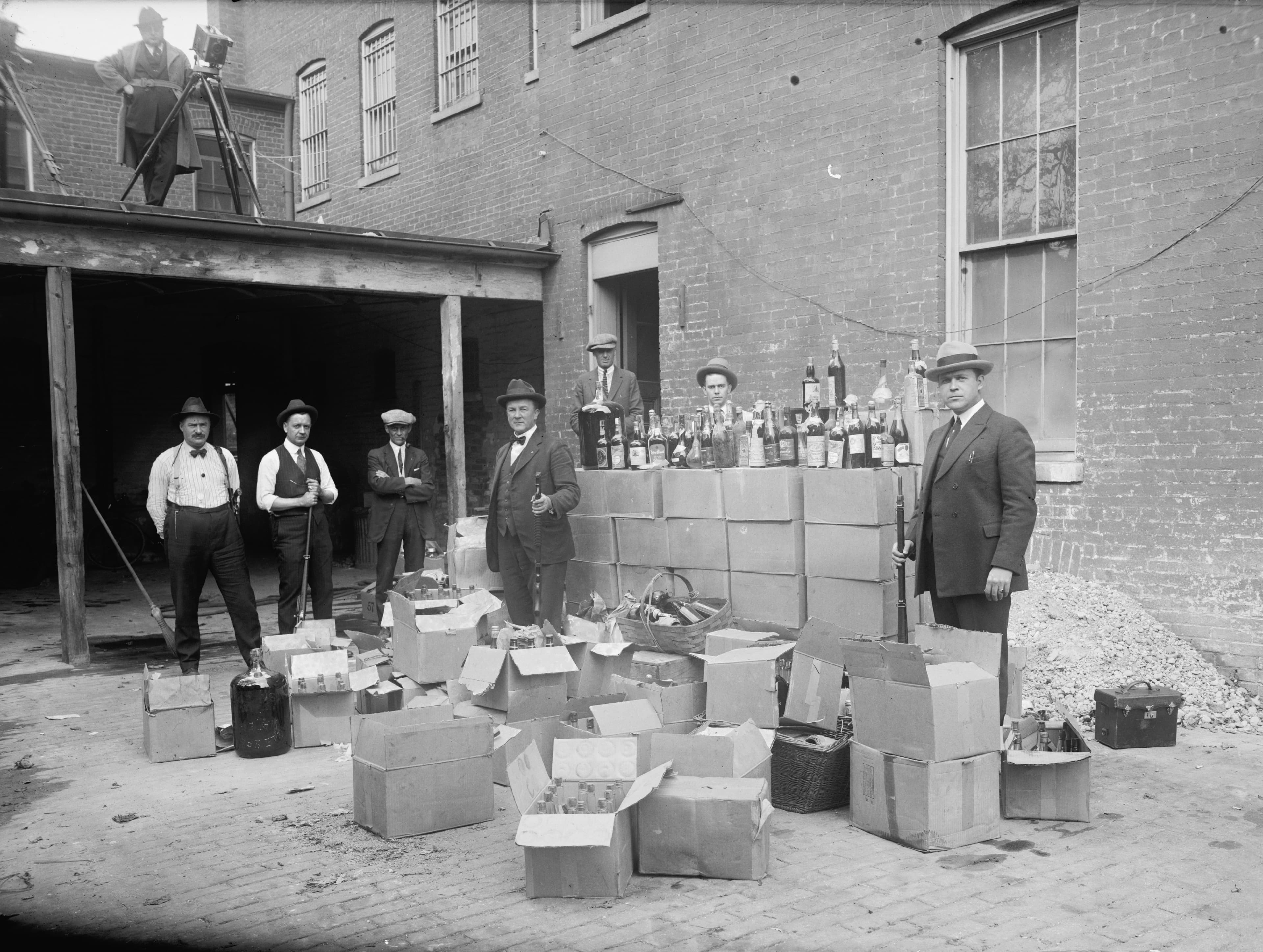 The Lost — mark extinguished
Liquor Raid, 1922
Liquor raid — National Photo Company press photograph
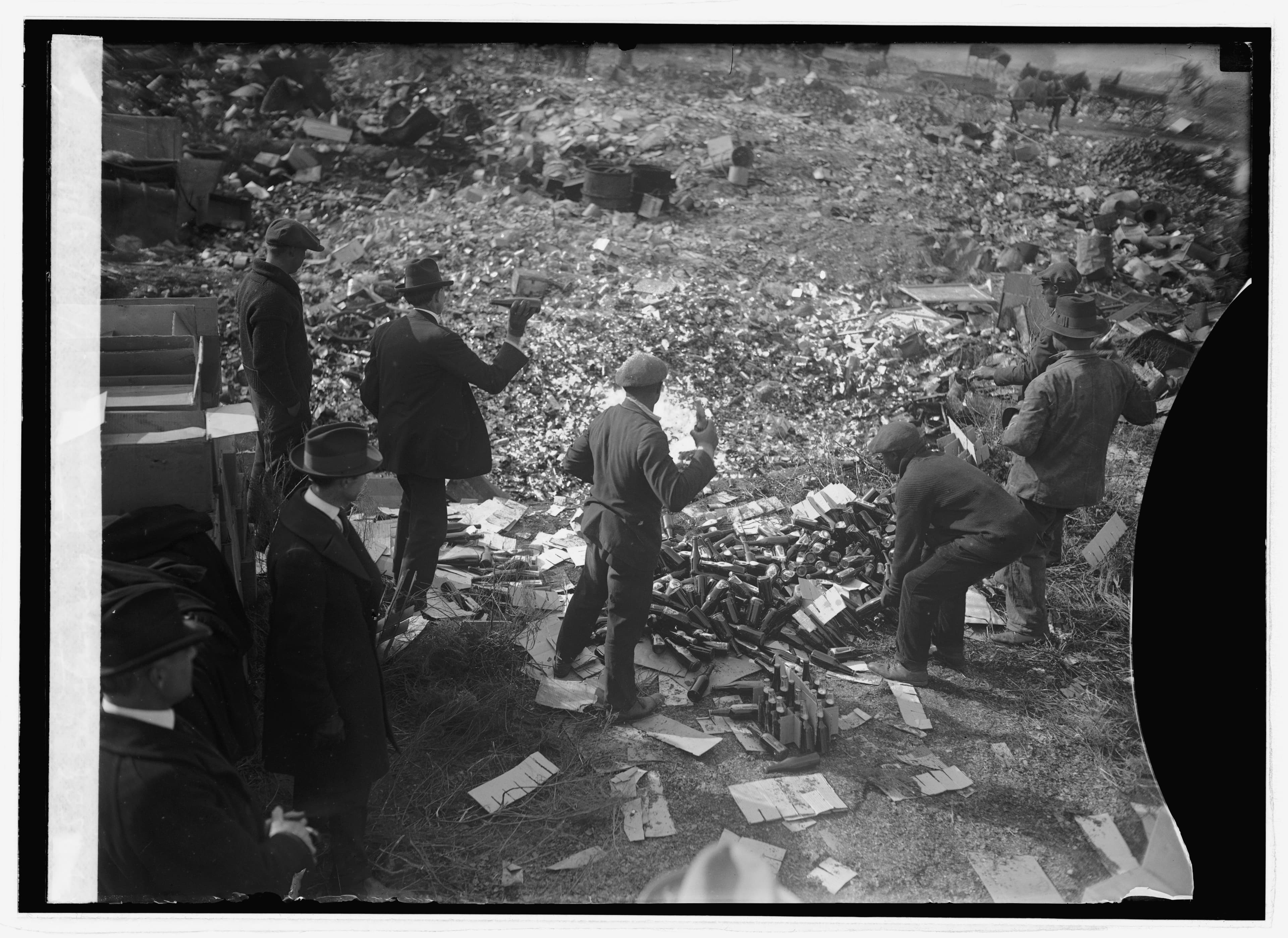 The Lost — mark extinguished
Destroying Liquor, 1923
Destroying liquor — National Photo Company press photograph
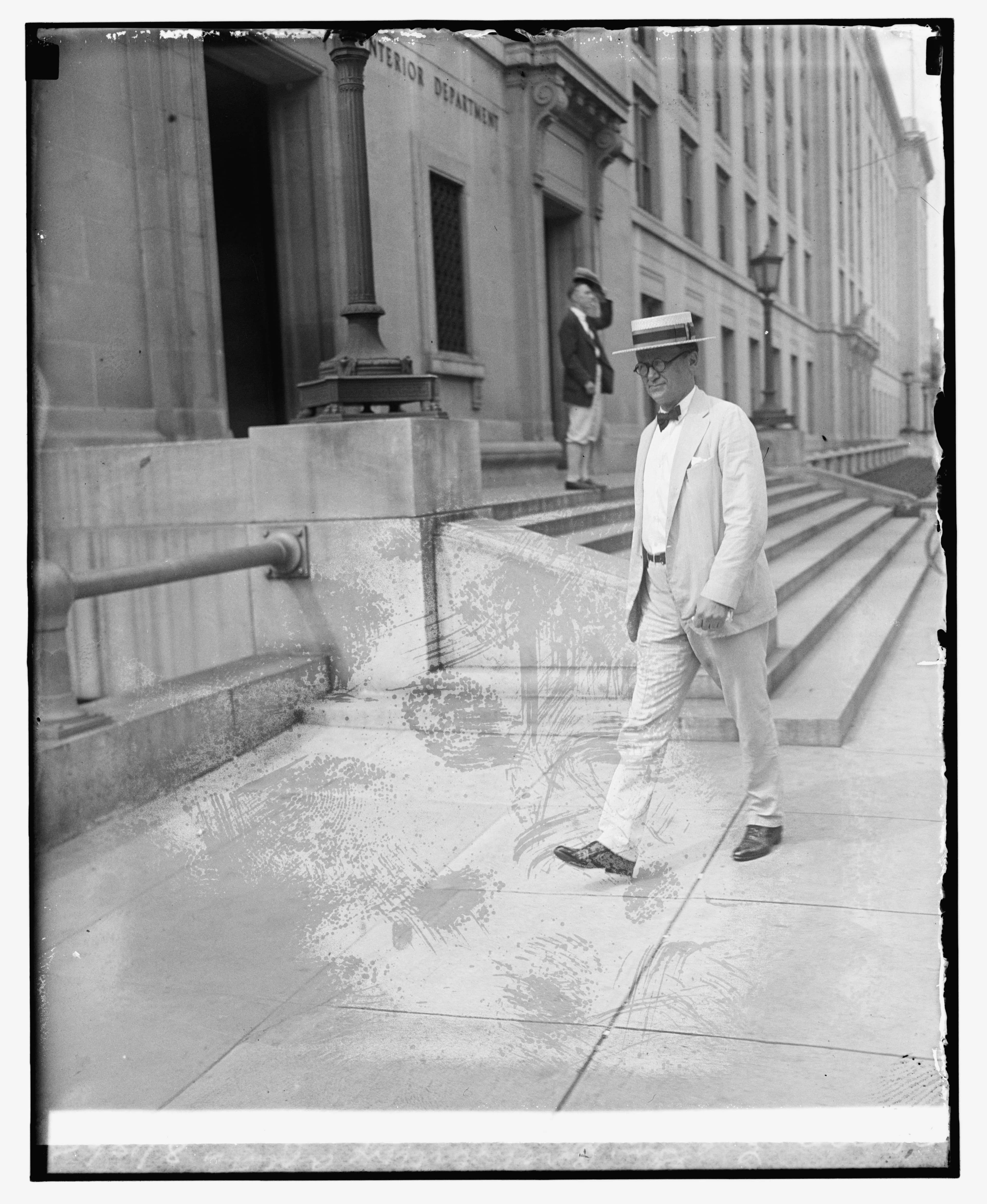 The Lost — mark extinguished
E. C. Yellowly, Chief of General Prohibition Agents, 1925
E.C. Yellowly, Chief of gen. prohibition agents — National Photo Company press photograph
A house of the Provenance family